
What we offer.


Detailed Overview of Our Services.
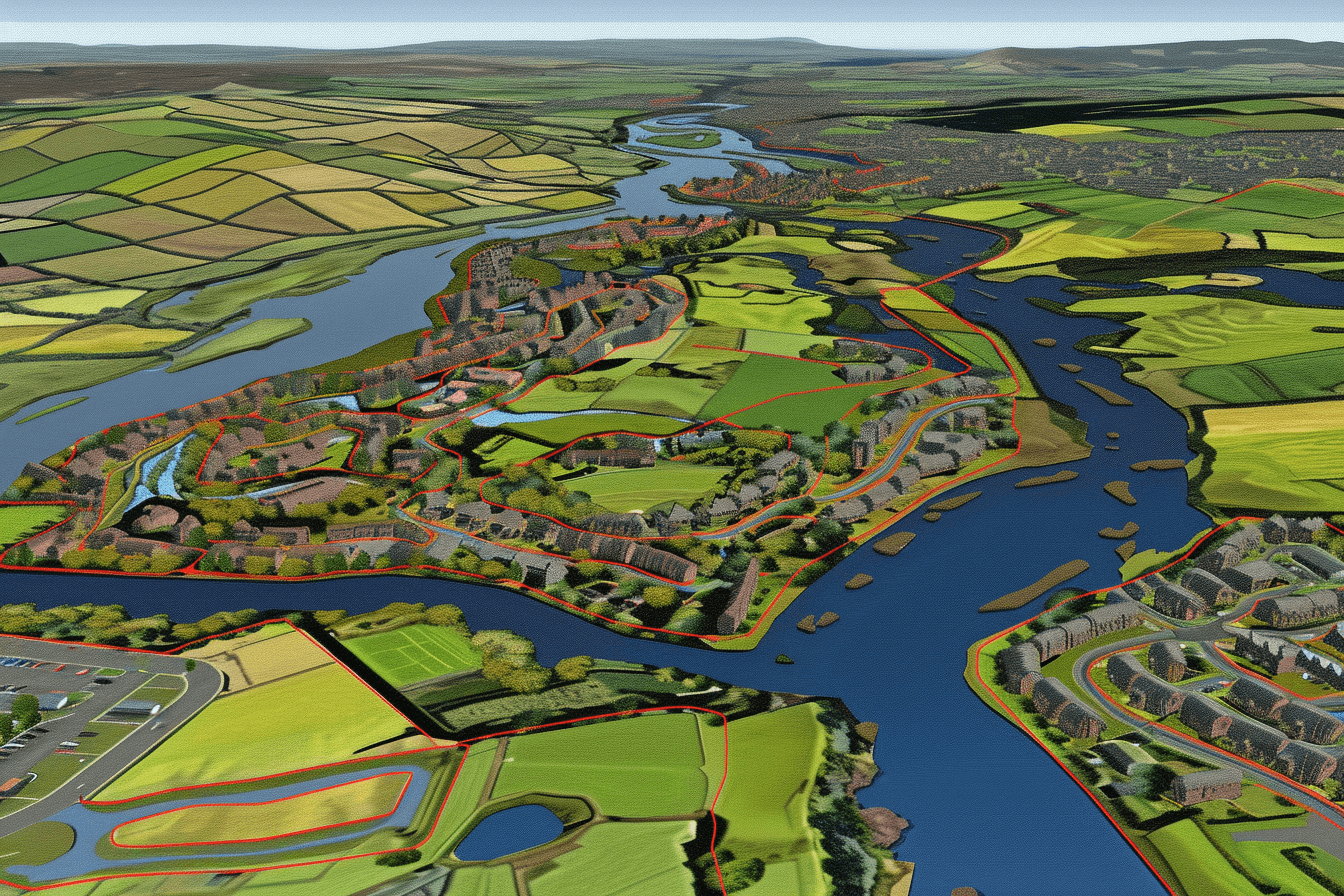
Comprehensive Civil Engineering Design Solutions
Our Civil Engineering Design service encompasses comprehensive planning and design solutions tailored to meet the diverse needs of your projects. Leveraging advanced technology and industry best practices, we ensure efficient, sustainable, and high-quality outcomes.
- Drainage Design: We create efficient drainage systems that effectively manage stormwater and wastewater, ensuring proper flow and preventing flooding and erosion issues.
- Road Design: Our road design services include planning and designing roads that meet safety standards, optimize traffic flow, and enhance connectivity for urban and rural developments.
- Ground Modelling / Levels: We use advanced software to model ground surfaces and determine optimal levels, ensuring stability and accuracy for construction projects.

- Cut/Fill: Our cut and fill services balance earthworks, minimizing material transportation and reducing costs while ensuring a level foundation for your project.
- Setting Out: We provide precise setting out services to ensure that the construction of structures and infrastructure aligns accurately with design plans.
- Flood Risk Assessment: Our experts conduct thorough flood risk assessments to identify potential flooding issues and develop mitigation strategies to protect your development.
- Drainage Strategy Report: We prepare detailed Drainage Strategy Reports outlining the design, management, and maintenance plans for effective drainage systems tailored to your project’s needs.
- Percolation Testing: We perform percolation tests to evaluate soil absorption rates, essential for designing efficient septic systems and sustainable drainage solutions.
- Soakaways: Our soakaway design services provide sustainable drainage solutions that manage surface water runoff, reduce flooding risks, and recharge groundwater.
Our Site Surveying service provides accurate and detailed assessments of your project site, ensuring a solid foundation for successful planning, design, and construction. Utilizing state-of-the-art technology and experienced surveyors, we deliver precise data and insights to support all stages of your project.
Topographical Surveys
Our topographical surveys provide an accurate and detailed representation of existing site conditions. We capture ground levels, buildings, boundaries, utilities, and all visible site features to create a precise base plan for design and planning. This information is essential for architects, engineers, and developers to ensure designs are based on reliable, real-world data.
Drone Surveying & Georeferenced Aerial Imagery
We use drone technology to capture high-resolution, georeferenced aerial imagery and survey data quickly and efficiently. This provides an up-to-date overview of your site, ideal for mapping, planning, monitoring progress, and visual presentation. Drone surveys allow access to large or difficult areas while maintaining high levels of accuracy and safety.
As-Built Surveys
Our as-built surveys verify that constructed works match the approved design drawings. We accurately record the final positions and levels of installed features such as buildings, drainage, services, and infrastructure. This provides a permanent and reliable record for handover documentation, future maintenance, and compliance purposes.
Volumetric Surveys
Volumetric surveys calculate precise quantities of stockpiles, earthworks, cut and fill, and material movements. Using advanced surveying and modelling techniques, we deliver accurate volume measurements to support cost control, payment certification, and project monitoring.
Ground Penetrating Radar (GPR) Surveys
Our GPR surveys locate and map buried services and underground features without the need for excavation. We combine on-site scanning with a detailed site walkover to identify surface markers and correlate findings. The results are presented in clear reports with colour-coded images, depth profiles, cross-sections, and CAD drawings, allowing services to be safely marked out on site and integrated into the design before construction begins.

Detailed Building Surveying Services
Our Building Surveying service offers precise and thorough assessments of building structures, providing essential data for renovations, expansions, and property management. Utilizing advanced technology and experienced surveyors, we deliver comprehensive surveys that support informed decision-making and project success.
- Full Internal Measured Building Survey (Floor Plans): We provide detailed internal surveys to create accurate floor plans, capturing the layout and dimensions of every room and feature within a building.
- Full External Measured Building Survey (Elevations): Our external surveys generate precise elevation drawings, documenting the exterior dimensions and architectural details of a building.

- Ownership Boundary: We conduct ownership boundary surveys to clearly define property lines, helping resolve disputes and ensuring compliance with legal and regulatory requirements.
- Garden Ground Levels: Our garden ground level surveys assess the topography of garden areas, providing essential data for landscaping, drainage planning, and construction projects.
Comprehensive Constraints Plans
Our Constraints Plans service provides vital information to identify and manage potential challenges in your project site. By compiling detailed data on various site aspects, we help you make informed decisions and develop effective strategies to navigate constraints and ensure project success.
- Full OS Information: We incorporate complete Ordnance Survey (OS) data, providing a comprehensive overview of your site’s geographical and topographical context.
- 1m 3D Contours: Our detailed 1-meter 3D contour mapping delivers precise elevation data, aiding in the planning and design of infrastructure and landscape projects.
- Preliminary Sized Basin: We include preliminary designs for water retention basins, essential for managing stormwater and mitigating flood risks.
- Existing Services Information: Our constraints plans detail existing utility services, including water, gas, electricity, and telecommunications, helping to avoid conflicts during construction.
- Flow Arrows: We use flow arrows to indicate the direction and behavior of surface water flow, critical for drainage planning and flood prevention.
- Flood Risk: Our assessments identify areas at risk of flooding, enabling proactive measures to protect your project and comply with regulatory requirements.
SEPA Pollution Prevention and Surface Water Management Plans
Our SEPA Pollution Prevention Plans and Surface Water Management Plans service ensures compliance with environmental regulations and effective management of surface water. Tailored to your project’s specific requirements, we provide comprehensive plans and ongoing support to safeguard your site and minimize environmental impact.
- Full SEPA Licence Package for Any Site Above 4Ha: We prepare and submit complete SEPA licence packages for large sites over 4 hectares, ensuring compliance with Scottish Environmental Protection Agency regulations.
- Full Surface Water Management Plans for Any Site Below 4Ha: For smaller sites under 4 hectares, we develop detailed surface water management plans to effectively manage runoff and prevent pollution.

- All Plans / Details / Reports / Calculations Included Within the Package: Our comprehensive packages include all necessary plans, detailed reports, and precise calculations, providing everything you need for regulatory approval and effective implementation.
- Plans Updated as the Site Develops: We offer ongoing updates to your plans to reflect changes and developments on-site, ensuring continued compliance and optimal performance.
- Monthly Site Inspections: Our team conducts monthly site inspections to monitor compliance, assess performance, and address any issues promptly, maintaining the integrity of your pollution prevention and water management plans.

Road Adoption and Sewer Vesting Management
Our Road Adoption and Sewer Vesting service ensures smooth and efficient handover of infrastructure to local authorities. We manage every aspect of the adoption process, from initial meetings to final inspections, guaranteeing compliance and reducing project risk.
- Full Control of Road Adoptions and Bond Reduction: We handle the entire road adoption process, including bond reduction, ensuring roads are built to the required standards and accepted by local authorities.
- Full Control of Sewer Vesting: Our team manages sewer vesting from start to finish, facilitating the transfer of sewer systems to local water authorities while ensuring compliance with all relevant regulations.

- Council & Scottish Water Meetings: We coordinate and attend meetings with local councils and Scottish Water, streamlining communication and ensuring all parties are aligned throughout the adoption and vesting process.
- Inspector Walk-Overs and Reports: We organize and conduct walk-over inspections with relevant inspectors, providing detailed reports to address any issues and ensure the smooth progression of road and sewer adoption.
CCTV Drain Surveys & Jetting Services
Ensure your drainage system is in top condition with our professional CCTV surveying and jetting services. We inspect drainage pipes from 100mm to 750mm, using state-of-the-art camera technology to provide a detailed report, complete with video footage and photographs highlighting any defects or blockages.
Our high-pressure jetting service clears debris, grease, and obstructions, restoring your pipes to peak performance. Whether for routine maintenance, problem diagnosis, or pre-purchase surveys, we deliver efficient, reliable, and cost-effective solutions.
Site Support
We offer a range of services that can help both on and off sites, from Housing Developments to Transmission Substations.
- Substation Supervision (SSE): We can offer supervision for all works inside any substation; holding documents, conversing with SAP’s and managing squads. With our range of experience, we can assist in ensuring the project programme is taken into account while mainly focusing on the safety of operatives while working in a Live Substation Environment.
- Quality Control: We recognise the importance of keeping Quality records and documentation up to date as part of your handover, within accreditation guidelines: ISO:9001. We can assist in the overview and assist in preparing documents as the works progress and flag any issues in existing documentation that may need carried out to stay ahead of the game.
- Health & Safety: Minimum requirements are always changing in construction and audits are needing carried out more and more frequently. We can help in ensuring you have all relevant and required documentation above the minimum legal standard, within accreditation guidelines: ISO:45001 .
- Programming: We can provide Full site Programmes from inception to completion. We aim to create our programmes, in which the methodology will best suit the build to save time and costs; showing critical path analysis and easy-to-understand sequencing.